Sable Islands, (islands) is located in Ontario, in Canada (America). It is placed in GMT-5 time zone with current time of 05:30 AM, Saturday. Offset from your time zone: minutes.
| Latitude | 

|
|
| decimal | 48.91666 | |
| DMS | 48° 54' 59.976" N | |
| Distances from | ||
| North pole | 4568 km | |
| Equator | 5439 km | |
| South pole | 15446.1 km | |
| Longitude | 
|
|
| decimal | -94.65042 | |
| DMS | 94° 39' 1.512" W | |
| Distance from prime meridian: 6424.8 km to West |
||
List of nearest places sort by population
Winnipeg 210.3 km 300°
300° 310°
310° 294°
294° 55°
55° 111°313°293°
 283°
283° 325°296°

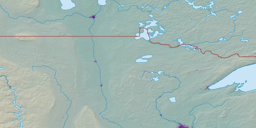
Marker is showing location of Sable Islands on map(s). You can click on marker if you want to hide it.
 T: 0.00818 s.
2026 © Location.zone | Terms of use | Contact
 116°
116° 103°
103° 271°
271° 87°
87° 261°
261° 165°
165° 231°
231°