Tingaujaqtujut Islands, (islands) is located in Nunavut, in Canada (America). It is placed in GMT-5 time zone with current time of 03:27 AM, Saturday. Offset from your time zone: minutes.
| Latitude | 

|
|
| decimal | 64.1993 | |
| DMS | 64° 11' 57.48" N | |
| Distances from | ||
| North pole | 2868.8 km | |
| Equator | 7138.3 km | |
| South pole | 17145.4 km | |
| Longitude | 
|
|
| decimal | -94.8003 | |
| DMS | 94° 48' 1.08" W | |
| Distance from prime meridian: 4155.4 km to West |
||
List of nearest places sort by population
Fort McMurray 1224.7 km 227°
227° 258°
258° 190°
190° 200°
200° 250°
250° 210°
210° 242°
242° 138°
138° 293°
293° 354°
354°

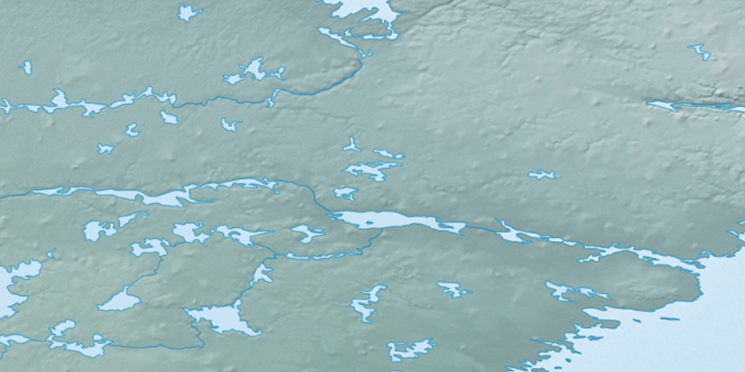
Marker is showing location of Tingaujaqtujut Islands on map(s). You can click on marker if you want to hide it.
 T: 0.00809 s.
2026 © Location.zone | Terms of use | Contact
 156°
156° 147°
147° 217°
217° 104°
104° 168°
168°