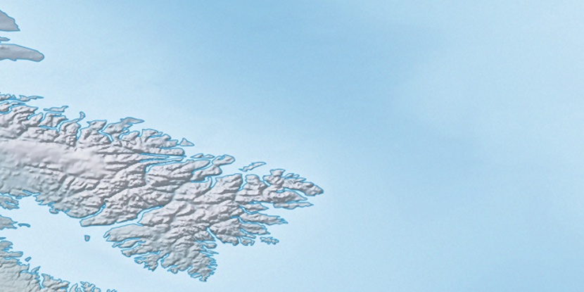
Akuliaqatta Bluff, (mountain) is located in Nunavut, in Canada (America). It is placed in GMT-4 time zone with current time of 06:48 AM, Saturday. Offset from your time zone: minutes.
| Latitude | 

|
|
| decimal | 67.75049 | |
| DMS | 67° 45' 1.764" N | |
| Distances from | ||
| North pole | 2473.9 km | |
| Equator | 7533.1 km | |
| South pole | 17540.2 km | |
| Longitude | 
|
|
| decimal | -64.36347 | |
| DMS | 64° 21' 48.492" W | |
| Distance from prime meridian: 2587.3 km to West |
||
List of nearest places sort by population
Labrador City 1651.7 km 184°
184° 172°
172° 203°170°178°
 185°
185° 246°198°
 274°
274° 331°
331°

Marker is showing location of Akuliaqatta Bluff on map(s). You can click on marker if you want to hide it.
 T: 0.02883 s.
2026 © Location.zone | Terms of use | Contact
 235°
235° 222°
222° 117°
117° 111°
111° 104°
104° 228°
228°