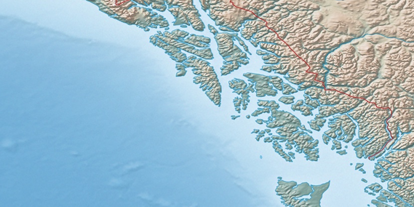
Devils Thumb, (mountain) is located in British Columbia, in Canada (America). It is placed in GMT-7 time zone with current time of 08:19 PM, Friday. Offset from your time zone: minutes.
| Latitude | 

|
|
| decimal | 57.09946 | |
| DMS | 57° 5' 58.056" N | |
| Distances from | ||
| North pole | 3658.2 km | |
| Equator | 6348.9 km | |
| South pole | 16355.9 km | |
| Longitude | 
|
|
| decimal | -132.37038 | |
| DMS | 132° 22' 13.368" W | |
| Distance from prime meridian: 6626.3 km to West |
||
List of nearest places sort by population
Whitehorse 430.6 km 339°
339° 140°
140° 157°
157° 145°
145° 128°130°127°
 32°
32° 123°
123° 324°
324°

Marker is showing location of Devils Thumb on map(s). You can click on marker if you want to hide it.
 T: 0.03009 s.
2026 © Location.zone | Terms of use | Contact
 111°
111° 250°
250° 94°
94° 215°
215°