Davies Peninsula, (peninsula) is located in Manitoba, in Canada (America). It is placed in GMT-5 time zone with current time of 05:59 PM, Saturday. Offset from your time zone: minutes.
| Latitude | 

|
|
| decimal | 54.54441 | |
| DMS | 54° 32' 39.876" N | |
| Distances from | ||
| North pole | 3942.3 km | |
| Equator | 6064.8 km | |
| South pole | 16071.8 km | |
| Longitude | 
|
|
| decimal | -92.64922 | |
| DMS | 92° 38' 57.192" W | |
| Distance from prime meridian: 5516.3 km to West |
||
List of nearest places sort by population
Thompson 356.6 km 291°
291° 210°
210° 180°
180° 261°
261° 191°212°207°213°205°185°

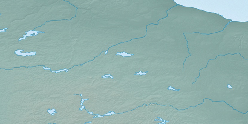
Marker is showing location of Davies Peninsula on map(s). You can click on marker if you want to hide it.
 T: 0.0056 s.
2026 © Location.zone | Terms of use | Contact
 141°
141° 126°
126° 254°
254° 265°
265° 93°
93° 167°
167° 228°
228°