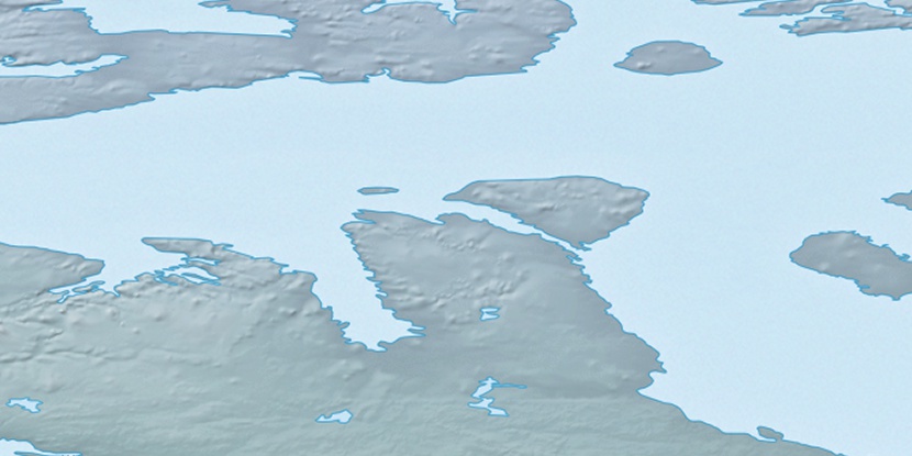
Natkusiak Peninsula, (peninsula) is located in Nunavut, in Canada (America). It is placed in GMT-6 time zone with current time of 06:31 PM, Saturday. Offset from your time zone: minutes.
| Latitude | 

|
|
| decimal | 72.74695 | |
| DMS | 72° 44' 49.02" N | |
| Distances from | ||
| North pole | 1918.4 km | |
| Equator | 8088.7 km | |
| South pole | 18095.8 km | |
| Longitude | 
|
|
| decimal | -109.65368 | |
| DMS | 109° 39' 13.248" W | |
| Distance from prime meridian: 3120.1 km to West |
||
List of nearest places sort by population
Yellowknife 1160.9 km 189°191°
 241°
241° 183°
183° 146°
146° 231°
231° 200°
200° 132°238°
 219°
219°

Marker is showing location of Natkusiak Peninsula on map(s). You can click on marker if you want to hide it.
 T: 0.00597 s.
2026 © Location.zone | Terms of use | Contact
 166°
166° 113°
113° 164°
164° 214°
214°