Piniarvik Peninsula, (peninsula) is located in Nunavut, in Canada (America). It is placed in GMT-5 time zone with current time of 01:26 PM, Saturday. Offset from your time zone: minutes.
| Latitude | 

|
|
| decimal | 63.78395 | |
| DMS | 63° 47' 2.22" N | |
| Distances from | ||
| North pole | 2915 km | |
| Equator | 7092.1 km | |
| South pole | 17099.2 km | |
| Longitude | 
|
|
| decimal | -99.0675 | |
| DMS | 99° 4' 3" W | |
| Distance from prime meridian: 4367.2 km to West |
||
List of nearest places sort by population
Fort McMurray 1034.3 km 220°
220° 259°
259° 175°
175° 188°
188° 249°
249° 199°
199° 237°
237° 107°
107° 301°
301° 14°
14°

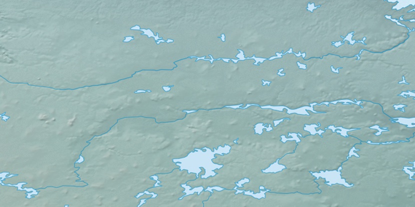
Marker is showing location of Piniarvik Peninsula on map(s). You can click on marker if you want to hide it.
 T: 0.00574 s.
2026 © Location.zone | Terms of use | Contact
 150°
150° 141°
141° 212°
212° 103°
103° 166°
166°