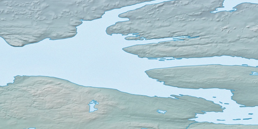
Singialuk Peninsula, (peninsula) is located in Nunavut, in Canada (America). It is placed in GMT-6 time zone with current time of 12:09 PM, Saturday. Offset from your time zone: minutes.
| Latitude | 

|
|
| decimal | 69.57074 | |
| DMS | 69° 34' 14.664" N | |
| Distances from | ||
| North pole | 2271.5 km | |
| Equator | 7735.5 km | |
| South pole | 17742.6 km | |
| Longitude | 
|
|
| decimal | -116.75514 | |
| DMS | 116° 45' 18.504" W | |
| Distance from prime meridian: 3845.1 km to West |
||
List of nearest places sort by population
Yellowknife 798.4 km 172°
172° 177°
177° 258°167°
 207°
207° 238°
238° 160°
160° 97°
97° 252°
252° 221°
221°

Marker is showing location of Singialuk Peninsula on map(s). You can click on marker if you want to hide it.
 T: 0.00589 s.
2026 © Location.zone | Terms of use | Contact
 142°
142° 154°
154° 188°
188° 108°
108°