Starrup Peninsula, (peninsula) is located in Ontario, in Canada (America). It is placed in GMT-4 time zone with current time of 08:04 AM, Monday. Offset from your time zone: minutes.
| Latitude | 

|
|
| decimal | 52.90013 | |
| DMS | 52° 54' 0.468" N | |
| Distances from | ||
| North pole | 4125.1 km | |
| Equator | 5881.9 km | |
| South pole | 15889 km | |
| Longitude | 
|
|
| decimal | -87.91663 | |
| DMS | 87° 54' 59.868" W | |
| Distance from prime meridian: 5504.5 km to West |
||
List of nearest places sort by population
Thunder Bay 511.1 km 190°
190° 224°
224° 140°
140° 167°
167° 242°171°
 209°191°
 151°235°

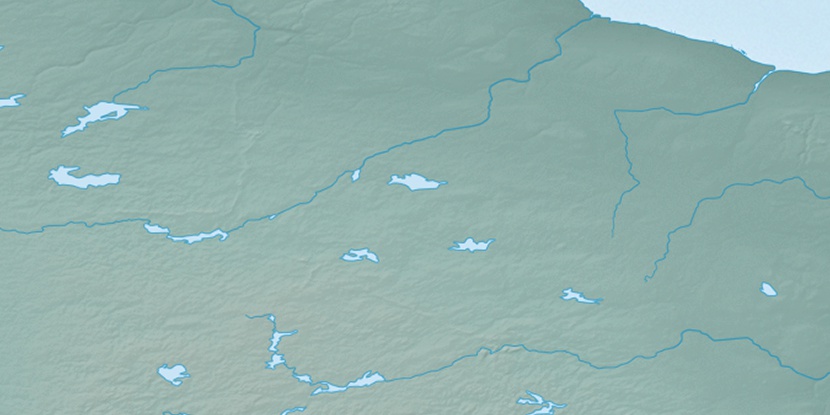
Marker is showing location of Starrup Peninsula on map(s). You can click on marker if you want to hide it.
 T: 0.00601 s.
2026 © Location.zone | Terms of use | Contact
 128°
128° 263°
263° 272°
272° 91°
91° 230°
230°