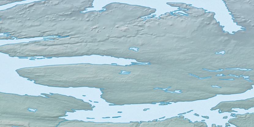
Wollaston Peninsula, (peninsula) is located in Nunavut, in Canada (America). It is placed in GMT-6 time zone with current time of 06:11 PM, Sunday. Offset from your time zone: minutes.
| Latitude | 

|
|
| decimal | 69.68559 | |
| DMS | 69° 41' 8.124" N | |
| Distances from | ||
| North pole | 2258.8 km | |
| Equator | 7748.3 km | |
| South pole | 17755.4 km | |
| Longitude | 
|
|
| decimal | -115.17879 | |
| DMS | 115° 10' 43.644" W | |
| Distance from prime meridian: 3790 km to West |
||
List of nearest places sort by population
Yellowknife 804.9 km 177°181°
 258°
258° 171°
171° 210°
210° 239°179°
 98°
98° 252°
252° 225°
225°

Marker is showing location of Wollaston Peninsula on map(s). You can click on marker if you want to hide it.
 T: 0.00581 s.
2026 © Location.zone | Terms of use | Contact
 144°
144° 156°
156° 190°
190° 108°
108°