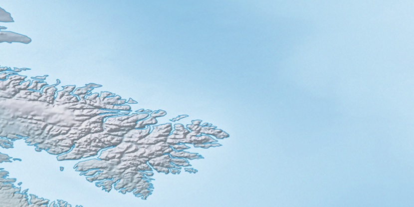
White Wind Peak, (peak) is located in Nunavut, in Canada (America). It is placed in GMT-4 time zone with current time of 03:21 PM, Saturday. Offset from your time zone: minutes.
| Latitude | 

|
|
| decimal | 66.48395 | |
| DMS | 66° 29' 2.22" N | |
| Distances from | ||
| North pole | 2614.7 km | |
| Equator | 7392.3 km | |
| South pole | 17399.4 km | |
| Longitude | 
|
|
| decimal | -62.41354 | |
| DMS | 62° 24' 48.744" W | |
| Distance from prime meridian: 2653.2 km to West |
||
List of nearest places sort by population
Labrador City 1525.3 km 189°
189° 175°
175° 223°
223° 172°182°189°
 253°
253° 255°
255° 279°
279° 330°
330°

Marker is showing location of White Wind Peak on map(s). You can click on marker if you want to hide it.
 T: 0.00805 s.
2026 © Location.zone | Terms of use | Contact
 202°
202° 239°
239° 227°
227° 115°
115° 110°
110° 102°
102°