Nuvukuluk Point, (point) is located in Nunavut, in Canada (America). It is placed in GMT-4 time zone with current time of 02:02 AM, Sunday. Offset from your time zone: minutes.
| Latitude | 

|
|
| decimal | 71.41803 | |
| DMS | 71° 25' 4.908" N | |
| Distances from | ||
| North pole | 2066.1 km | |
| Equator | 7940.9 km | |
| South pole | 17948 km | |
| Longitude | 
|
|
| decimal | -84.91663 | |
| DMS | 84° 54' 59.868" W | |
| Distance from prime meridian: 2762.4 km to West |
||
List of nearest places sort by population
Yellowknife 1597.2 km 231°
231° 141°229°
 223°
223° 197°
197° 127°
127° 251°233°248°
 100°
100°

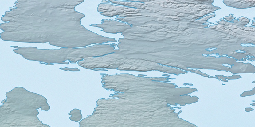
Marker is showing location of Nuvukuluk Point on map(s). You can click on marker if you want to hide it.
 T: 0.03837 s.
2026 © Location.zone | Terms of use | Contact
 174°
174° 213°
213° 194°
194° 117°
117° 113°
113° 244°
244°