Stanley Point, (point) is located in Nunavut, in Canada (America). It is placed in GMT-5 time zone with current time of 09:31 PM, Friday. Offset from your time zone: minutes.
| Latitude | 

|
|
| decimal | 73.80141 | |
| DMS | 73° 48' 5.076" N | |
| Distances from | ||
| North pole | 1801.1 km | |
| Equator | 8205.9 km | |
| South pole | 18213 km | |
| Longitude | 
|
|
| decimal | -85.09925 | |
| DMS | 85° 5' 57.3" W | |
| Distance from prime meridian: 2418.1 km to West |
||
List of nearest places sort by population
Yellowknife 1715.1 km 223°
223° 149°221°
 250°
250° 192°
192° 139°
139° 238°
238° 213°239°
 123°
123°

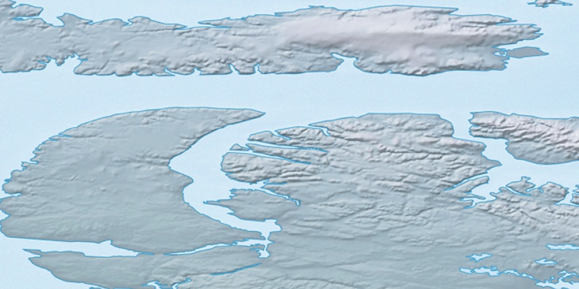
Marker is showing location of Stanley Point on map(s). You can click on marker if you want to hide it.
 T: 0.03754 s.
2026 © Location.zone | Terms of use | Contact
 174°
174° 175°
175° 109°
109°