Joma Rock, (shoals) is located in Northwest Territories, in Canada (America). It is placed in GMT-6 time zone with current time of 09:33 AM, Saturday. Offset from your time zone: minutes.
| Latitude | 

|
|
| decimal | 61.35026 | |
| DMS | 61° 21' 0.936" N | |
| Distances from | ||
| North pole | 3185.6 km | |
| Equator | 6821.5 km | |
| South pole | 16828.6 km | |
| Longitude | 
|
|
| decimal | -117.66946 | |
| DMS | 117° 40' 10.056" W | |
| Distance from prime meridian: 5386.3 km to West |
||
List of nearest places sort by population
Fort St. John 595.8 km 197°
197° 54°
54° 177°
177° 224°
224° 174°
174° 120°184°179°115°179°

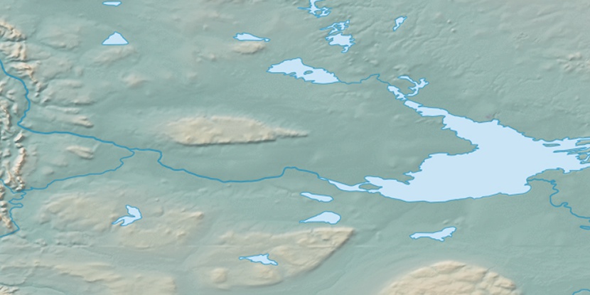
Marker is showing location of Joma Rock on map(s). You can click on marker if you want to hide it.
 T: 0.02381 s.
2026 © Location.zone | Terms of use | Contact
 127°
127° 163°
163° 194°
194° 98°
98° 93°
93° 248°
248°