Slave Point Shoals, (shoals) is located in Northwest Territories, in Canada (America). It is placed in GMT-6 time zone with current time of 10:35 AM, Saturday. Offset from your time zone: minutes.
| Latitude | 

|
|
| decimal | 61.16696 | |
| DMS | 61° 10' 1.056" N | |
| Distances from | ||
| North pole | 3205.9 km | |
| Equator | 6801.1 km | |
| South pole | 16808.2 km | |
| Longitude | 
|
|
| decimal | -115.86946 | |
| DMS | 115° 52' 10.056" W | |
| Distance from prime meridian: 5364.3 km to West |
||
List of nearest places sort by population
Fort McMurray 556.5 km 152°
152° 28°
28° 188°
188° 235°193°
 174°194°190°
 120°191°

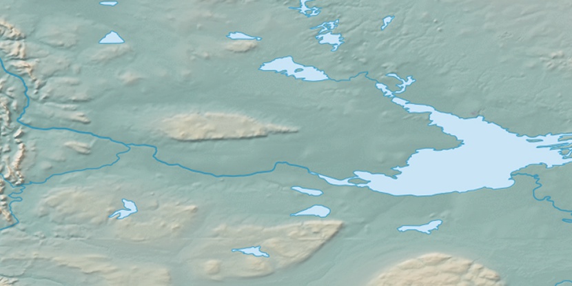
Marker is showing location of Slave Point Shoals on map(s). You can click on marker if you want to hide it.
 T: 0.02467 s.
2026 © Location.zone | Terms of use | Contact
 128°
128° 137°
137° 198°
198° 98°
98° 93°
93° 249°
249° 158°
158° 219°
219°