Rivière Niungalupik, (stream) is located in Quebec, in Canada (America). It is placed in GMT-4 time zone with current time of 05:52 PM, Monday. Offset from your time zone: minutes.
| Latitude | 

|
|
| decimal | 59.76718 | |
| DMS | 59° 46' 1.848" N | |
| Distances from | ||
| North pole | 3361.6 km | |
| Equator | 6645.5 km | |
| South pole | 16652.5 km | |
| Longitude | 
|
|
| decimal | -72.56548 | |
| DMS | 72° 33' 55.728" W | |
| Distance from prime meridian: 3855 km to West |
||
List of nearest places sort by population
Sept-Îles 1133.4 km 159°155°
 133°
133° 185°
185° 25°161°156°187°25°159°

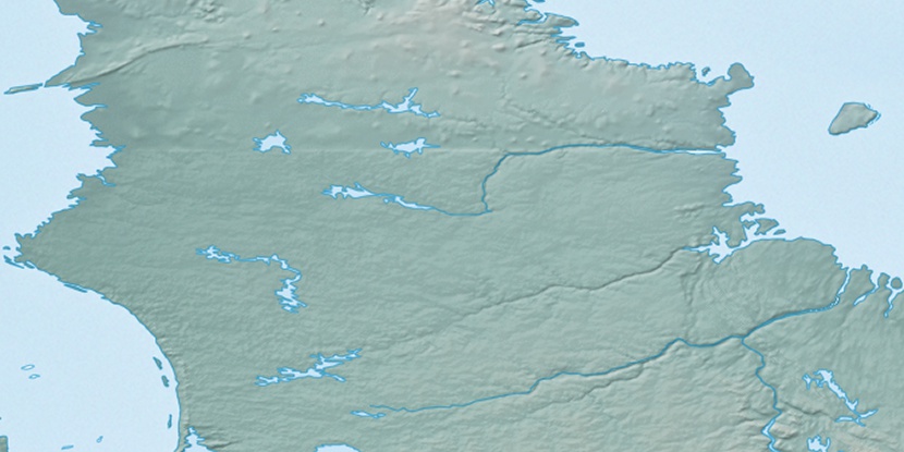
Marker is showing location of Rivière Niungalupik on map(s). You can click on marker if you want to hide it.
 T: 0.03934 s.
2026 © Location.zone | Terms of use | Contact
 182°
182° 249°
249° 234°
234° 101°
101° 93°
93° 256°
256°