Boylagh Bay, (bay) is located in Ulster, in Ireland (Europe). It is placed in GMT+1 time zone with current time of 01:00 PM, Tuesday. Offset from your time zone: minutes.
| Latitude | 

|
|
| decimal | 54.88333 | |
| DMS | 54° 52' 59.988" N | |
| Distances from | ||
| North pole | 3904.6 km | |
| Equator | 6102.5 km | |
| South pole | 16109.5 km | |
| Longitude | 
|
|
| decimal | -8.5 | |
| DMS | 8° 30' 0" W | |
| Distance from prime meridian: 543.3 km to West |
||
List of nearest places sort by population
Ballybofey 46.8 km 101°
101° 42°
42° 59°
59° 154°
154° 135°
135° 162°
162° 31°
31° 173°
173° 50°163°

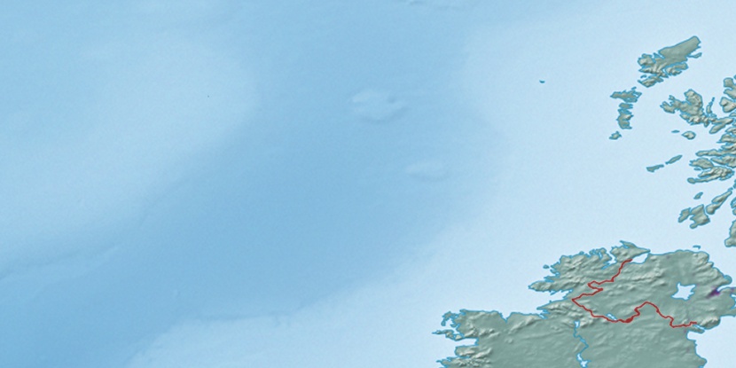
Marker is showing location of Boylagh Bay on map(s). You can click on marker if you want to hide it.
 T: 0.00299 s.
2026 © Location.zone | Terms of use | Contact
 179°
179° 191°
191° 132°
132° 123°
123° 88°
88° 211°
211°