Crohy Head, (cape) is located in Ulster, in Ireland (Europe). It is placed in GMT+1 time zone with current time of 12:58 PM, Tuesday. Offset from your time zone: minutes.
| Latitude | 

|
|
| decimal | 54.925 | |
| DMS | 54° 55' 30" N | |
| Distances from | ||
| North pole | 3900 km | |
| Equator | 6107.1 km | |
| South pole | 16114.1 km | |
| Longitude | 
|
|
| decimal | -8.45639 | |
| DMS | 8° 27' 23.004" W | |
| Distance from prime meridian: 540 km to West |
||
List of nearest places sort by population
Letterkenny 46.3 km 86°
86° 107°
107° 45°
45° 65°
65° 159°
159° 143°
143° 167°
167° 31°
31° 179°
179° 64°
64°

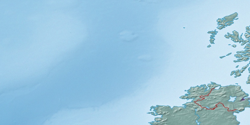
Marker is showing location of Crohy Head on map(s). You can click on marker if you want to hide it.
 T: 0.00301 s.
2026 © Location.zone | Terms of use | Contact
 191°
191° 134°
134° 124°
124° 100°
100° 211°
211°