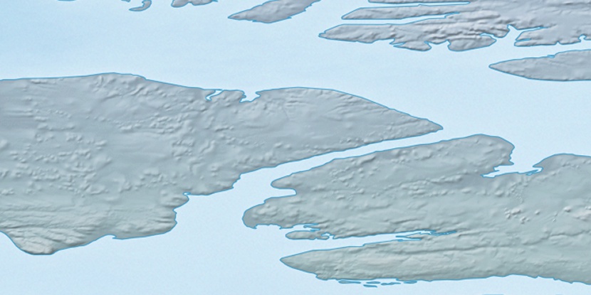
Able River, (stream) is located in Northwest Territories, in Canada (America). It is placed in GMT-6 time zone with current time of 04:40 AM, Saturday. Offset from your time zone: minutes.
| Latitude | 

|
|
| decimal | 73.72329 | |
| DMS | 73° 43' 23.844" N | |
| Distances from | ||
| North pole | 1809.8 km | |
| Equator | 8197.3 km | |
| South pole | 18204.3 km | |
| Longitude | 
|
|
| decimal | -119.92243 | |
| DMS | 119° 55' 20.748" W | |
| Distance from prime meridian: 3122.6 km to West |
||
List of nearest places sort by population
Whitehorse 1575.2 km 203°
203° 169°173°
 219°
219° 137°215°165°
 123°218°195°

Marker is showing location of Able River on map(s). You can click on marker if you want to hide it.
 T: 0.00662 s.
2026 © Location.zone | Terms of use | Contact
 147°
147° 157°
157° 183°
183° 113°
113° 233°
233° 211°
211°