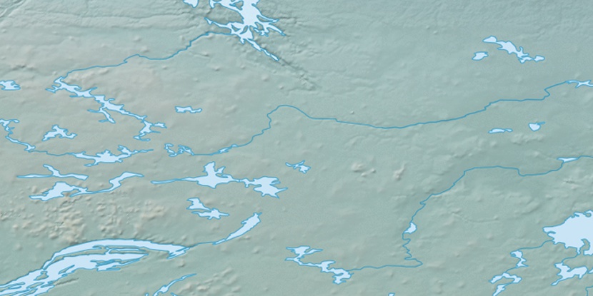
Baillie River, (stream) is located in Northwest Territories, in Canada (America). It is placed in GMT-6 time zone with current time of 04:44 AM, Saturday. Offset from your time zone: minutes.
| Latitude | 

|
|
| decimal | 64.58534 | |
| DMS | 64° 35' 7.224" N | |
| Distances from | ||
| North pole | 2825.8 km | |
| Equator | 7181.2 km | |
| South pole | 17188.3 km | |
| Longitude | 
|
|
| decimal | -105.80169 | |
| DMS | 105° 48' 6.084" W | |
| Distance from prime meridian: 4451.4 km to West |
||
List of nearest places sort by population
Fort McMurray 924.3 km 199°
199° 240°
240° 221°
221° 230°
230° 178°
178° 211°
211° 106°216°
 310°
310° 44°
44°

Marker is showing location of Baillie River on map(s). You can click on marker if you want to hide it.
 T: 0.00697 s.
2026 © Location.zone | Terms of use | Contact
 144°
144° 162°
162° 103°
103° 247°
247°