Davidson Creek, (stream) is located in Northwest Territories, in Canada (America). It is placed in GMT-6 time zone with current time of 04:42 AM, Saturday. Offset from your time zone: minutes.
| Latitude | 

|
|
| decimal | 62.48361 | |
| DMS | 62° 29' 0.996" N | |
| Distances from | ||
| North pole | 3059.5 km | |
| Equator | 6947.5 km | |
| South pole | 16954.6 km | |
| Longitude | 
|
|
| decimal | -118.46957 | |
| DMS | 118° 28' 10.452" W | |
| Distance from prime meridian: 5201.4 km to West |
||
List of nearest places sort by population
Yellowknife 210.6 km 90°
90° 174°
174° 209°170°
 142°
142° 128°
128° 243°
243° 175°
175° 14°
14° 307°
307°

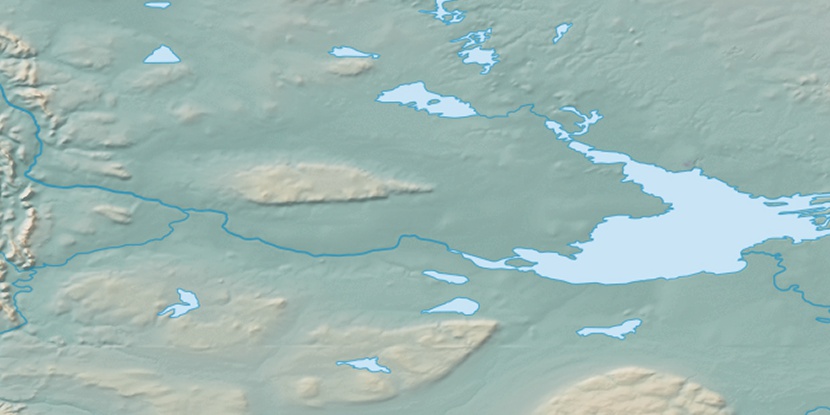
Marker is showing location of Davidson Creek on map(s). You can click on marker if you want to hide it.
 T: 0.00783 s.
2026 © Location.zone | Terms of use | Contact
 123°
123° 163°
163° 191°
191° 99°
99° 247°
247° 217°
217°