Davies River, (stream) is located in Northwest Territories, in Canada (America). It is placed in GMT-6 time zone with current time of 04:43 AM, Saturday. Offset from your time zone: minutes.
| Latitude | 

|
|
| decimal | 74.15659 | |
| DMS | 74° 9' 23.724" N | |
| Distances from | ||
| North pole | 1761.6 km | |
| Equator | 8245.4 km | |
| South pole | 18252.5 km | |
| Longitude | 
|
|
| decimal | -124.39545 | |
| DMS | 124° 23' 43.62" W | |
| Distance from prime meridian: 3107.7 km to West |
||
List of nearest places sort by population
Whitehorse 1556.3 km 196°
196° 162°
162° 166°
166° 207°207°
 154°200°
 121°206°
 185°
185°

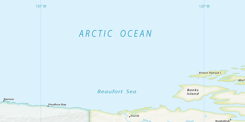
Marker is showing location of Davies River on map(s). You can click on marker if you want to hide it.
 T: 0.00759 s.
2026 © Location.zone | Terms of use | Contact
 140°
140° 178°
178° 112°
112° 232°
232°