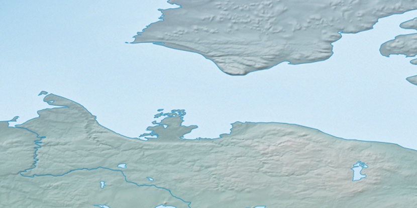
De Salis River, (stream) is located in Northwest Territories, in Canada (America). It is placed in GMT-6 time zone with current time of 04:43 AM, Saturday. Offset from your time zone: minutes.
| Latitude | 

|
|
| decimal | 71.48417 | |
| DMS | 71° 29' 3.012" N | |
| Distances from | ||
| North pole | 2058.8 km | |
| Equator | 7948.3 km | |
| South pole | 17955.4 km | |
| Longitude | 
|
|
| decimal | -121.70542 | |
| DMS | 121° 42' 19.512" W | |
| Distance from prime meridian: 3580.8 km to West |
||
List of nearest places sort by population
Whitehorse 1332.8 km 206°
206° 162°
162° 167°
167° 232°
232° 193°
193° 221°
221° 147°
147° 108°228°
 196°
196°

Marker is showing location of De Salis River on map(s). You can click on marker if you want to hide it.
 T: 0.00639 s.
2026 © Location.zone | Terms of use | Contact
 142°
142° 181°
181° 102°
102° 236°
236°