Dubawnt River, (stream) is located in Northwest Territories, in Canada (America). It is placed in GMT-6 time zone with current time of 04:42 AM, Saturday. Offset from your time zone: minutes.
| Latitude | 

|
|
| decimal | 62.91727 | |
| DMS | 62° 55' 2.172" N | |
| Distances from | ||
| North pole | 3011.3 km | |
| Equator | 6995.7 km | |
| South pole | 17002.8 km | |
| Longitude | 
|
|
| decimal | -102.08443 | |
| DMS | 102° 5' 3.948" W | |
| Distance from prime meridian: 4610.8 km to West |
||
List of nearest places sort by population
Fort McMurray 860.7 km 216°
216° 265°
265° 163°
163° 179°
179° 251°
251° 191°
191° 238°
238° 91°
91° 312°
312° 23°
23°

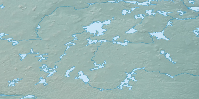
Marker is showing location of Dubawnt River on map(s). You can click on marker if you want to hide it.
 T: 0.00637 s.
2026 © Location.zone | Terms of use | Contact
 145°
145° 136°
136° 208°
208° 168°
168° 101°
101°