Duport River, (stream) is located in Northwest Territories, in Canada (America). It is placed in GMT-6 time zone with current time of 04:44 AM, Saturday. Offset from your time zone: minutes.
| Latitude | 

|
|
| decimal | 62.8337 | |
| DMS | 62° 50' 1.32" N | |
| Distances from | ||
| North pole | 3020.6 km | |
| Equator | 6986.5 km | |
| South pole | 16993.5 km | |
| Longitude | 
|
|
| decimal | -116.20272 | |
| DMS | 116° 12' 9.792" W | |
| Distance from prime meridian: 5071.8 km to West |
||
List of nearest places sort by population
Fort McMurray 730.2 km 158°
158° 114°
114° 218°
218° 186°
186° 174°
174° 143°
143° 245°186°
 5°
5° 297°
297°

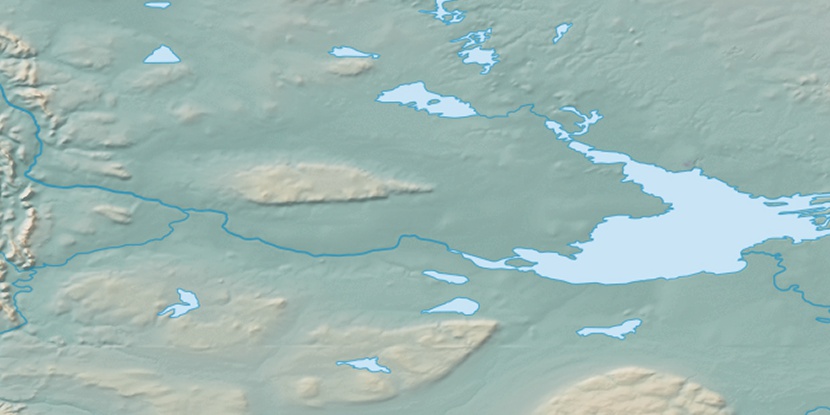
Marker is showing location of Duport River on map(s). You can click on marker if you want to hide it.
 T: 0.00666 s.
2026 © Location.zone | Terms of use | Contact
 131°
131° 195°
195° 100°
100°