Hair Stand Creek, (stream) is located in Northwest Territories, in Canada (America). It is placed in GMT-6 time zone with current time of 09:15 PM, Sunday. Offset from your time zone: minutes.
| Latitude | 

|
|
| decimal | 61.23351 | |
| DMS | 61° 14' 0.636" N | |
| Distances from | ||
| North pole | 3198.5 km | |
| Equator | 6808.5 km | |
| South pole | 16815.6 km | |
| Longitude | 
|
|
| decimal | -119.30287 | |
| DMS | 119° 18' 10.332" W | |
| Distance from prime meridian: 5456.7 km to West |
||
List of nearest places sort by population
Fort St. John 561.3 km 189°
189° 62°
62° 168°
168° 214°
214° 158°
158° 103°170°
 108°
108° 255°168°

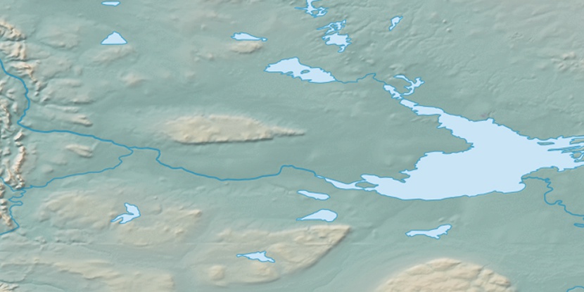
Marker is showing location of Hair Stand Creek on map(s). You can click on marker if you want to hide it.
 T: 0.00643 s.
2026 © Location.zone | Terms of use | Contact
 126°
126° 120°
120° 93°
93° 248°
248° 218°
218°