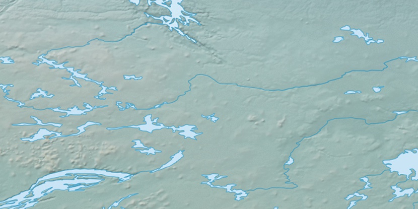
Hanbury River, (stream) is located in Northwest Territories, in Canada (America). It is placed in GMT-6 time zone with current time of 09:13 PM, Sunday. Offset from your time zone: minutes.
| Latitude | 

|
|
| decimal | 63.61729 | |
| DMS | 63° 37' 2.244" N | |
| Distances from | ||
| North pole | 2933.5 km | |
| Equator | 7073.6 km | |
| South pole | 17080.6 km | |
| Longitude | 
|
|
| decimal | -104.56816 | |
| DMS | 104° 34' 5.376" W | |
| Distance from prime meridian: 4576.6 km to West |
||
List of nearest places sort by population
Fort McMurray 852.7 km 206°
206° 255°
255° 156°
156° 229°
229° 241°
241° 182°
182° 223°
223° 98°
98° 314°
314° 34°
34°

Marker is showing location of Hanbury River on map(s). You can click on marker if you want to hide it.
 T: 0.00652 s.
2026 © Location.zone | Terms of use | Contact
 143°
143° 201°
201° 248°
248°