Kamilukuak River, (stream) is located in Northwest Territories, in Canada (America). It is placed in GMT-5 time zone with current time of 08:57 AM, Friday. Offset from your time zone: minutes.
| Latitude | 

|
|
| decimal | 62.08383 | |
| DMS | 62° 5' 1.788" N | |
| Distances from | ||
| North pole | 3104 km | |
| Equator | 6903.1 km | |
| South pole | 16910.1 km | |
| Longitude | 
|
|
| decimal | -102.00106 | |
| DMS | 102° 0' 3.816" W | |
| Distance from prime meridian: 4744.8 km to West |
||
List of nearest places sort by population
Fort McMurray 796.3 km 221°
221° 273°
273° 161°
161° 179°
179° 244°
244° 259°
259° 193°
193° 246°
246° 81°
81° 21°
21°

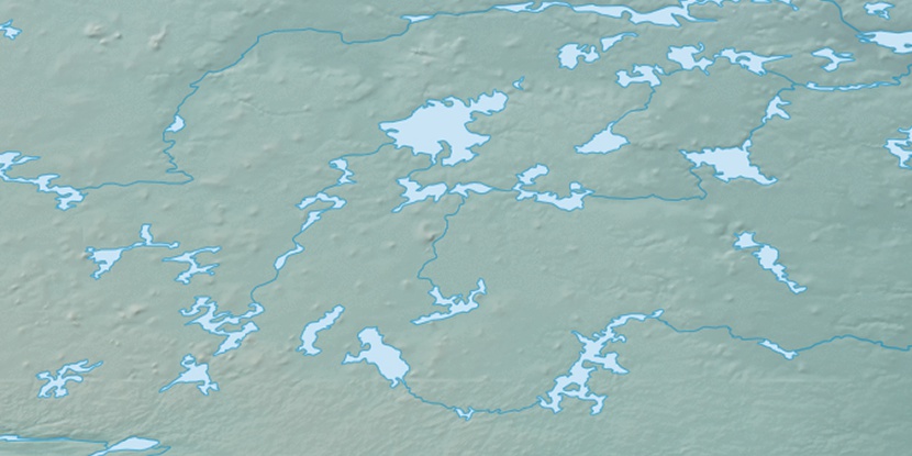
Marker is showing location of Kamilukuak River on map(s). You can click on marker if you want to hide it.
 T: 0.00657 s.
2025 © Location.zone | Terms of use | Contact
 143°
143° 210°
210° 167°
167° 100°
100°