Nanook River, (stream) is located in Northwest Territories, in Canada (America). It is placed in GMT-6 time zone with current time of 04:58 AM, Saturday. Offset from your time zone: minutes.
| Latitude | 

|
|
| decimal | 71.09687 | |
| DMS | 71° 5' 48.732" N | |
| Distances from | ||
| North pole | 2101.8 km | |
| Equator | 7905.2 km | |
| South pole | 17912.3 km | |
| Longitude | 
|
|
| decimal | -110.00357 | |
| DMS | 110° 0' 12.852" W | |
| Distance from prime meridian: 3422.4 km to West |
||
List of nearest places sort by population
Yellowknife 979.3 km 191°192°
 251°
251° 183°
183° 140°
140° 237°
237° 208°
208° 116°247°
 226°
226°

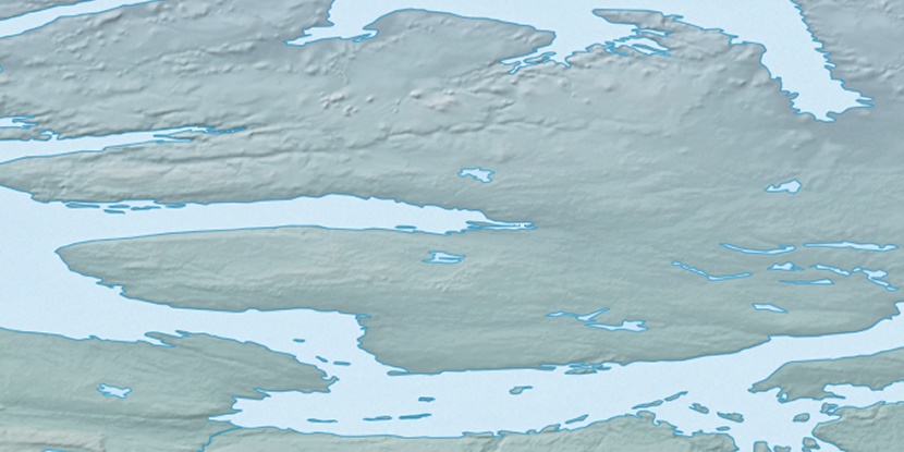
Marker is showing location of Nanook River on map(s). You can click on marker if you want to hide it.
 T: 0.00653 s.
2026 © Location.zone | Terms of use | Contact
 150°
150° 164°
164° 195°
195° 111°
111° 103°
103° 215°
215°