Napaktolik River, (stream) is located in Northwest Territories, in Canada (America). It is placed in GMT-6 time zone with current time of 04:58 AM, Saturday. Offset from your time zone: minutes.
| Latitude | 

|
|
| decimal | 65.66731 | |
| DMS | 65° 40' 2.316" N | |
| Distances from | ||
| North pole | 2705.5 km | |
| Equator | 7301.5 km | |
| South pole | 17308.6 km | |
| Longitude | 
|
|
| decimal | -114.13606 | |
| DMS | 114° 8' 9.816" W | |
| Distance from prime meridian: 4499.2 km to West |
||
List of nearest places sort by population
Yellowknife 357.5 km 181°
181° 210°
210° 191°188°
 169°
169° 229°190°
 350°
350° 67°
67° 265°
265°

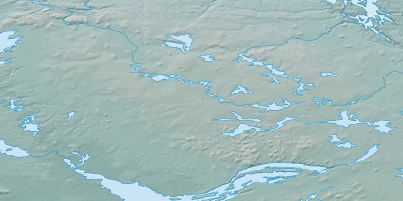
Marker is showing location of Napaktolik River on map(s). You can click on marker if you want to hide it.
 T: 0.00724 s.
2026 © Location.zone | Terms of use | Contact
 138°
138° 132°
132° 150°
150° 196°
196° 103°
103° 244°
244° 160°
160° 217°
217°