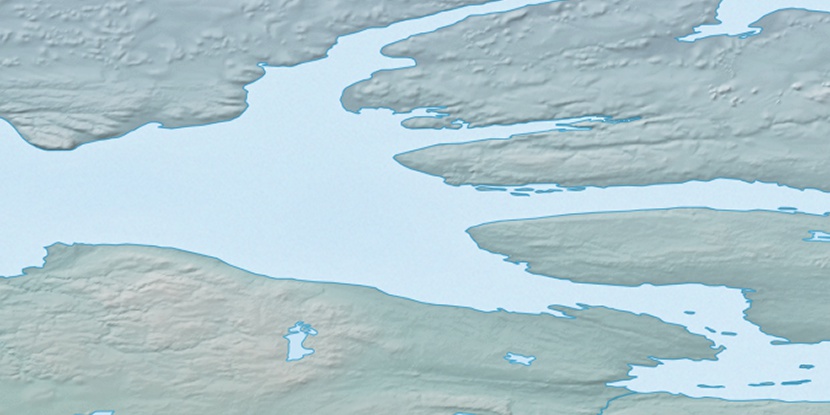
Nokaluk River, (stream) is located in Northwest Territories, in Canada (America). It is placed in GMT-6 time zone with current time of 04:57 AM, Saturday. Offset from your time zone: minutes.
| Latitude | 

|
|
| decimal | 71.68849 | |
| DMS | 71° 41' 18.564" N | |
| Distances from | ||
| North pole | 2036 km | |
| Equator | 7971 km | |
| South pole | 17978.1 km | |
| Longitude | 
|
|
| decimal | -120.40466 | |
| DMS | 120° 24' 16.776" W | |
| Distance from prime meridian: 3518.4 km to West |
||
List of nearest places sort by population
Yellowknife 1058.2 km 165°170°
 233°
233° 163°
163° 195°
195° 222°
222° 154°
154° 110°229°200°

Marker is showing location of Nokaluk River on map(s). You can click on marker if you want to hide it.
 T: 0.00807 s.
2026 © Location.zone | Terms of use | Contact
 143°
143° 183°
183° 103°
103° 236°
236° 212°
212°