Starvation River, (stream) is located in Northwest Territories, in Canada (America). It is placed in GMT-6 time zone with current time of 01:13 AM, Wednesday. Offset from your time zone: minutes.
| Latitude | 

|
|
| decimal | 65.00059 | |
| DMS | 65° 0' 2.124" N | |
| Distances from | ||
| North pole | 2779.7 km | |
| Equator | 7227.4 km | |
| South pole | 17234.5 km | |
| Longitude | 
|
|
| decimal | -112.36918 | |
| DMS | 112° 22' 9.048" W | |
| Distance from prime meridian: 4571.2 km to West |
||
List of nearest places sort by population
Fort McMurray 921.5 km 176°
176° 199°
199° 218°199°200°177°197°
 338°
338° 60°
60° 272°
272°

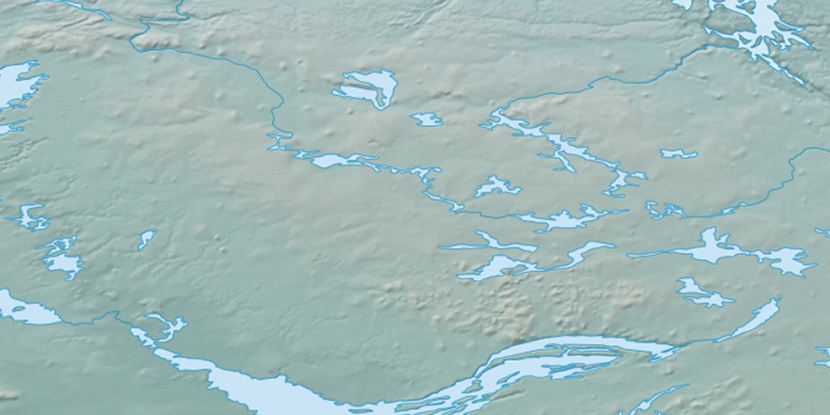
Marker is showing location of Starvation River on map(s). You can click on marker if you want to hide it.
 T: 0.00684 s.
2026 © Location.zone | Terms of use | Contact
 138°
138° 132°
132° 151°
151° 103°
103° 245°
245° 161°
161°