Tunago Creek, (stream) is located in Northwest Territories, in Canada (America). It is placed in GMT-6 time zone with current time of 03:17 AM, Saturday. Offset from your time zone: minutes.
| Latitude | 

|
|
| decimal | 66.31693 | |
| DMS | 66° 19' 0.948" N | |
| Distances from | ||
| North pole | 2633.3 km | |
| Equator | 7373.8 km | |
| South pole | 17380.8 km | |
| Longitude | 
|
|
| decimal | -126.02057 | |
| DMS | 126° 1' 14.052" W | |
| Distance from prime meridian: 4664 km to West |
||
List of nearest places sort by population
Whitehorse 765.5 km 215°
215° 127°
127° 140°
140° 304°
304° 190°
190° 248°
248° 70°222°
 287°
287° 197°
197°

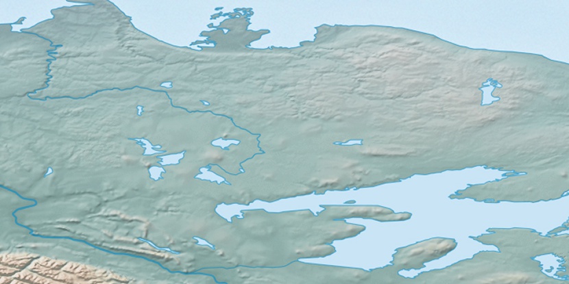
Marker is showing location of Tunago Creek on map(s). You can click on marker if you want to hide it.
 T: 0.00654 s.
2026 © Location.zone | Terms of use | Contact
 158°
158° 154°
154° 174°
174° 103°
103° 241°
241° 213°
213°