Azopardo Airport, (airport) is located in Magallanes, in Chile (America). It is placed in GMT-4 time zone with current time of 06:29 AM, Monday. Offset from your time zone: minutes.
| Latitude | 

|
|
| decimal | -54.48164 | |
| DMS | 54° 28' 53.904" S | |
| Distances from | ||
| North pole | 16064.9 km | |
| Equator | 6057.8 km | |
| South pole | 3949.3 km | |
| Longitude | 
|
|
| decimal | -68.93938 | |
| DMS | 68° 56' 21.768" W | |
| Distance from prime meridian: 4268.9 km to West |
||
List of nearest places sort by population
Punta Arenas 196.2 km 318°
318° 347°322°345°
 342°346°347°350°344°347°

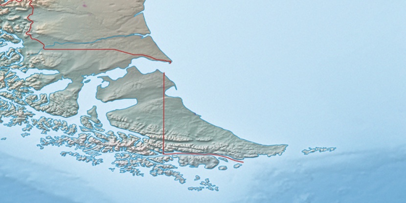
Marker is showing location of Azopardo Airport on map(s). You can click on marker if you want to hide it.
 T: 0.00232 s.
2025 © Location.zone | Terms of use | Contact
 356°
356° 281°
281° 28°
28° 38°
38° 304°
304°