Cerro Sombrero, (airport) is located in Magallanes, in Chile (America). It is placed in GMT-4 time zone with current time of 08:08 PM, Wednesday. Offset from your time zone: minutes.
| Latitude | 

|
|
| decimal | -52.73333 | |
| DMS | 52° 43' 59.988" S | |
| Distances from | ||
| North pole | 15870.5 km | |
| Equator | 5863.4 km | |
| South pole | 4143.7 km | |
| Longitude | 
|
|
| decimal | -69.33333 | |
| DMS | 69° 19' 59.988" W | |
| Distance from prime meridian: 4480.2 km to West |
||
List of nearest places sort by population
Punta Arenas 115.6 km 246°
246° 346°
346° 297°
297° 343°339°344°345°349°342°346°

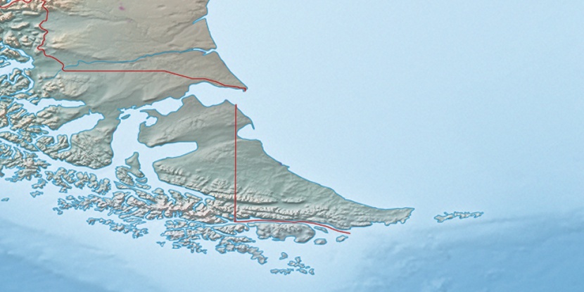
Marker is showing location of Cerro Sombrero on map(s). You can click on marker if you want to hide it.
 T: 0.00224 s.
2025 © Location.zone | Terms of use | Contact
 357°
357° 280°
280° 29°
29° 39°
39°