Punta Baja Airport, (airport) is located in Aisén, in Chile (America). It is placed in GMT-4 time zone with current time of 08:08 PM, Wednesday. Offset from your time zone: minutes.
| Latitude | 

|
|
| decimal | -46.79266 | |
| DMS | 46° 47' 33.576" S | |
| Distances from | ||
| North pole | 15209.9 km | |
| Equator | 5202.9 km | |
| South pole | 4804.2 km | |
| Longitude | 
|
|
| decimal | -72.79687 | |
| DMS | 72° 47' 48.732" W | |
| Distance from prime meridian: 5330.5 km to West |
||
List of nearest places sort by population
Coihaique 146.6 km 22°
22° 351°
351° 2°
2° 161°1°
 71°
71° 10°12°
 359°5°

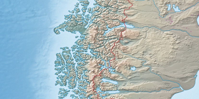
Marker is showing location of Punta Baja Airport on map(s). You can click on marker if you want to hide it.
 T: 0.00239 s.
2025 © Location.zone | Terms of use | Contact
 277°
277° 32°
32° 36°
36° 301°
301°