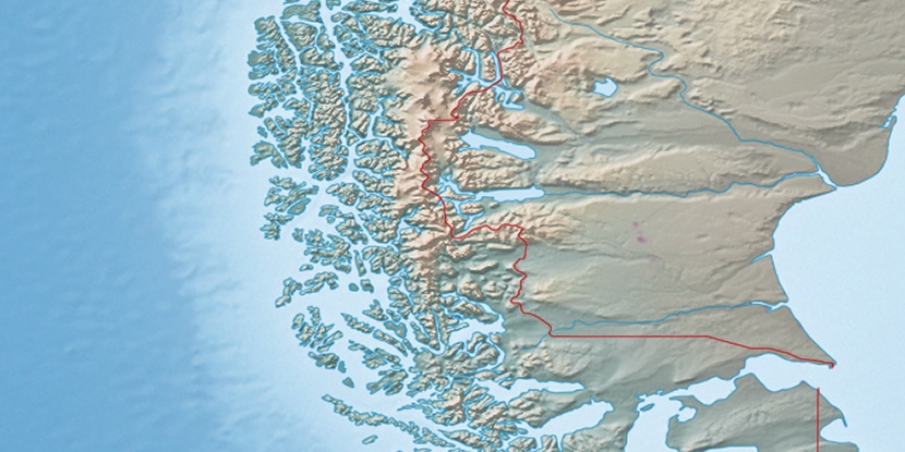
Isla El Morro, (island) is located in Magallanes, in Chile (America). It is placed in GMT-4 time zone with current time of 01:07 PM, Wednesday. Offset from your time zone: minutes.
| Latitude | 

|
|
| decimal | -51.39172 | |
| DMS | 51° 23' 30.192" S | |
| Distances from | ||
| North pole | 15721.3 km | |
| Equator | 5714.2 km | |
| South pole | 4292.8 km | |
| Longitude | 
|
|
| decimal | -74.95783 | |
| DMS | 74° 57' 28.188" W | |
| Distance from prime meridian: 4962.1 km to West |
||
List of nearest places sort by population
Punta Arenas 337.9 km 125°
125° 18°
18° 102°
102° 14°20°12°23°15°13°13°

Marker is showing location of Isla El Morro on map(s). You can click on marker if you want to hide it.
 T: 0.00628 s.
2025 © Location.zone | Terms of use | Contact
 280°
280° 31°
31° 35°
35° 304°
304°