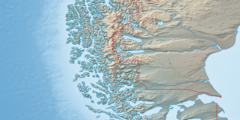
Isla Hernando, (island) is located in Magallanes, in Chile (America). It is placed in GMT-4 time zone with current time of 12:08 PM, Wednesday. Offset from your time zone: minutes.
| Latitude | 

|
|
| decimal | -50.01472 | |
| DMS | 50° 0' 52.992" S | |
| Distances from | ||
| North pole | 15568.2 km | |
| Equator | 5561.1 km | |
| South pole | 4445.9 km | |
| Longitude | 
|
|
| decimal | -75.07972 | |
| DMS | 75° 4' 46.992" W | |
| Distance from prime meridian: 5125.9 km to West |
||
List of nearest places sort by population
Punta Arenas 452.4 km 140°
140° 24°136°19°
 31°17°32°19°18°16°

Marker is showing location of Isla Hernando on map(s). You can click on marker if you want to hide it.
 T: 0.00652 s.
2025 © Location.zone | Terms of use | Contact
 11°
11° 279°
279° 36°
36° 303°
303°