Isla Señal, (island) is located in Magallanes, in Chile (America). It is placed in GMT-4 time zone with current time of 12:10 PM, Wednesday. Offset from your time zone: minutes.
| Latitude | 

|
|
| decimal | -54.84457 | |
| DMS | 54° 50' 40.452" S | |
| Distances from | ||
| North pole | 16105.2 km | |
| Equator | 6098.1 km | |
| South pole | 3908.9 km | |
| Longitude | 
|
|
| decimal | -70.93 | |
| DMS | 70° 55' 48" W | |
| Distance from prime meridian: 4340.1 km to West |
||
List of nearest places sort by population
Punta Arenas 187.9 km 0°
0° 355°
355° 343°
343° 353°352°353°356°357°352°354°

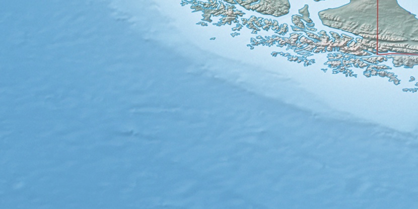
Marker is showing location of Isla Señal on map(s). You can click on marker if you want to hide it.
 T: 0.00647 s.
2025 © Location.zone | Terms of use | Contact
 282°
282° 29°
29° 39°
39° 304°
304°