Isla Tang, (island) is located in Magallanes, in Chile (America). It is placed in GMT-4 time zone with current time of 12:18 PM, Wednesday. Offset from your time zone: minutes.
| Latitude | 

|
|
| decimal | -49.43749 | |
| DMS | 49° 26' 14.964" S | |
| Distances from | ||
| North pole | 15504 km | |
| Equator | 5496.9 km | |
| South pole | 4510.1 km | |
| Longitude | 
|
|
| decimal | -75.44524 | |
| DMS | 75° 26' 42.864" W | |
| Distance from prime meridian: 5213.6 km to West |
||
List of nearest places sort by population
Punta Arenas 519.6 km 142°
142° 30°140°
 24°
24° 41°21°40°23°24°20°

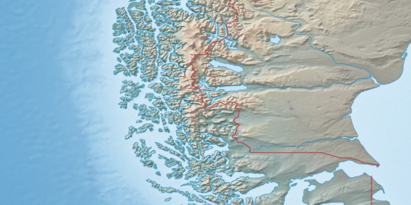
Marker is showing location of Isla Tang on map(s). You can click on marker if you want to hide it.
 T: 0.00752 s.
2025 © Location.zone | Terms of use | Contact
 12°
12° 278°
278° 303°
303°