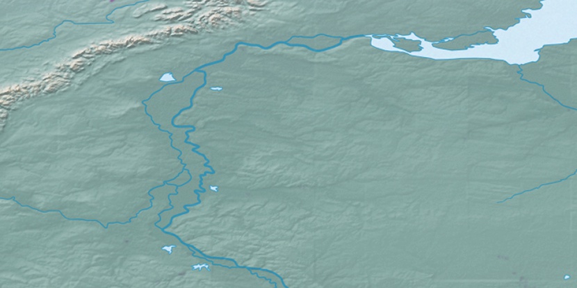
Kamradskiye, (populated place) is located in Khanty-Mansiyskiy Avtonomnyy Okrug, in Russia (Asia). It is placed in GMT+5 time zone with current time of 02:46 AM, Thursday. Offset from your time zone: minutes.
| Latitude | 

|
|
| decimal | 63.53333 | |
| DMS | 63° 31' 59.988" N | |
| Distances from | ||
| North pole | 2942.8 km | |
| Equator | 7064.2 km | |
| South pole | 17071.3 km | |
| Longitude | 
|
|
| decimal | 64.98333 | |
| DMS | 64° 58' 59.988" E | |
| Distance from prime meridian: 3080.3 km to East |
||
List of nearest places sort by population
Nyagan 156.3 km 172°
172° 76°
76° 216°
216° 164°
164° 3°
3° 209°
209° 187°
187° 246°158°164°

Marker is showing location of Kamradskiye on map(s). You can click on marker if you want to hide it.
 T: 0.03053 s.
2026 © Location.zone | Terms of use | Contact
 240°
240° 257°
257° 132°
132° 197°
197° 153°
153° 225°
225° 120°
120° 144°
144°