Sítio Santo Antonio, (farm) is located in Mato Grosso, in Brazil (America). It is placed in GMT-4 time zone with current time of 06:41 PM, Thursday. Offset from your time zone: minutes.
| Latitude | 

|
|
| decimal | -16.45 | |
| DMS | 16° 27' 0" S | |
| Distances from | ||
| North pole | 11836.1 km | |
| Equator | 1829.1 km | |
| South pole | 8178 km | |
| Longitude | 
|
|
| decimal | -56.31667 | |
| DMS | 56° 19' 0.012" W | |
| Distance from prime meridian: 5984.3 km to West |
||
List of nearest places sort by population
Cuiabá 97.8 km 13°12°
 90°
90° 328°
328° 72°69°
 303°
303° 28°
28° 21°
21° 52°
52°

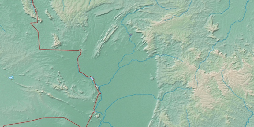
Marker is showing location of Sítio Santo Antonio on map(s). You can click on marker if you want to hide it.
 T: 0.02314 s.
2026 © Location.zone | Terms of use | Contact
 127°
127° 117°
117° 78°
78° 106°
106° 143°
143° 344°
344° 217°
217° 36°
36° 262°
262° 288°
288°