Ilha do Atibaia, (island) is located in Mato Grosso, in Brazil (America). It is placed in GMT-4 time zone with current time of 09:40 AM, Thursday. Offset from your time zone: minutes.
| Latitude | 

|
|
| decimal | -16.38333 | |
| DMS | 16° 22' 59.988" S | |
| Distances from | ||
| North pole | 11828.7 km | |
| Equator | 1821.7 km | |
| South pole | 8185.4 km | |
| Longitude | 
|
|
| decimal | -56 | |
| DMS | 56° 0' 0" W | |
| Distance from prime meridian: 5953.1 km to West |
||
List of nearest places sort by population
Cuiabá 88.1 km 353°350°
 93°
93° 51°
51° 67°
67° 281°
281° 14°345°351°9°

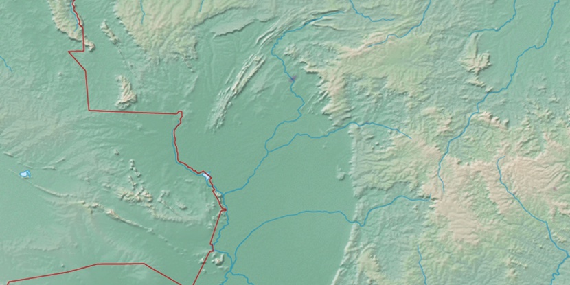
Marker is showing location of Ilha do Atibaia on map(s). You can click on marker if you want to hide it.
 T: 0.01316 s.
2026 © Location.zone | Terms of use | Contact
 129°
129° 118°
118° 78°
78° 107°
107° 145°
145° 343°
343° 26°
26° 217°
217° 36°
36° 262°
262° 288°
288°