Santo Amaro, (populated place) is located in Mato Grosso, in Brazil (America). It is placed in GMT-4 time zone with current time of 03:08 PM, Thursday. Offset from your time zone: minutes.
| Latitude | 

|
|
| decimal | -16.08333 | |
| DMS | 16° 4' 59.988" S | |
| Distances from | ||
| North pole | 11795.4 km | |
| Equator | 1788.3 km | |
| South pole | 8218.8 km | |
| Longitude | 
|
|
| decimal | -55.43333 | |
| DMS | 55° 25' 59.988" W | |
| Distance from prime meridian: 5903 km to West |
||
List of nearest places sort by population
Cuiabá 89.3 km 307°
307° 302°
302° 116°
116° 242°
242° 75°
75° 261°
261° 333°76°
 289°257°

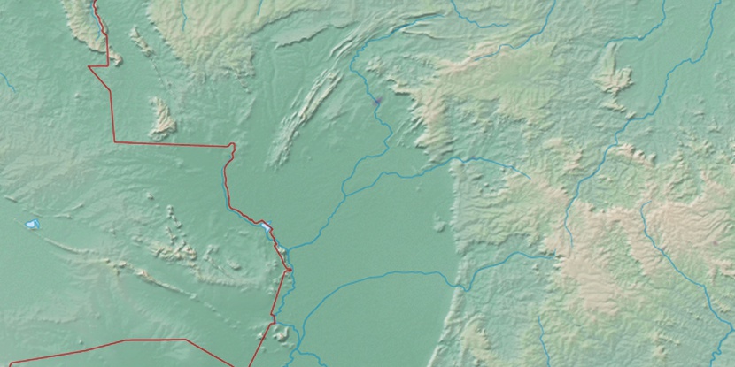
Marker is showing location of Santo Amaro on map(s). You can click on marker if you want to hide it.
 T: 0.01115 s.
2026 © Location.zone | Terms of use | Contact
 132°
132° 53°
53° 109°
109° 87°
87° 148°
148° 340°
340° 68°
68° 25°
25° 218°
218° 35°
35°