Serra da Chapada, (upland) is located in Mato Grosso, in Brazil (America). It is placed in GMT-4 time zone with current time of 05:34 AM, Thursday. Offset from your time zone: minutes.
| Latitude | 

|
|
| decimal | -15.41667 | |
| DMS | 15° 25' 0.012" S | |
| Distances from | ||
| North pole | 11721.2 km | |
| Equator | 1714.2 km | |
| South pole | 8292.9 km | |
| Longitude | 
|
|
| decimal | -55.75 | |
| DMS | 55° 45' 0" W | |
| Distance from prime meridian: 5957.5 km to West |
||
List of nearest places sort by population
Cuiabá 42.2 km 241°238°
 190°
190° 126°
126° 224°
224° 179°
179° 321°
321° 311°215°
 195°
195°

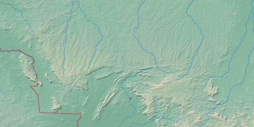
Marker is showing location of Serra da Chapada on map(s). You can click on marker if you want to hide it.
 T: 0.01035 s.
2026 © Location.zone | Terms of use | Contact
 122°
122° 81°
81° 55°
55° 111°
111° 92°
92° 148°
148° 341°
341° 70°
70° 27°
27° 36°
36° 48°
48° 262°
262° 288°
288°