Anderson Island, (island) is located in Andaman and Nicobar Islands, in India (Asia). It is placed in GMT+5:30 time zone with current time of 09:23 PM, Friday. Offset from your time zone: minutes.
| Latitude | 

|
|
| decimal | 12.79849 | |
| DMS | 12° 47' 54.564" N | |
| Distances from | ||
| North pole | 8584 km | |
| Equator | 1423.1 km | |
| South pole | 11430.1 km | |
| Longitude | 
|
|
| decimal | 92.70152 | |
| DMS | 92° 42' 5.472" E | |
| Distance from prime meridian: 9980 km to East |
||
List of nearest places sort by population
Puri 1069.3 km 316°
316° 177°322°322°322°320°
 1°318°318°179°

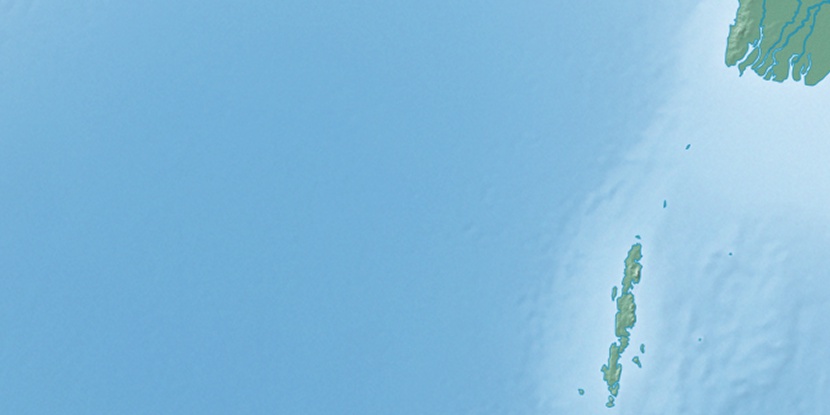
Marker is showing location of Anderson Island on map(s). You can click on marker if you want to hide it.
 T: 0.0152 s.
2026 © Location.zone | Terms of use | Contact
 288°
288° 270°
270° 337°
337° 298°
298° 61°
61° 314°
314° 129°
129° 253°
253°