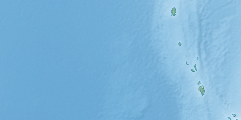
Car Nicobar Island, (island) is located in Andaman and Nicobar Islands, in India (Asia). It is placed in GMT+5:30 time zone with current time of 07:33 PM, Friday. Offset from your time zone: minutes.
| Latitude | 

|
|
| decimal | 9.16667 | |
| DMS | 9° 10' 0.012" N | |
| Distances from | ||
| North pole | 8987.8 km | |
| Equator | 1019.2 km | |
| South pole | 11026.3 km | |
| Longitude | 
|
|
| decimal | 92.78333 | |
| DMS | 92° 46' 59.988" E | |
| Distance from prime meridian: 10146.9 km to East |
||
List of nearest places sort by population
Puri 1398.8 km 327°
327° 316°
316° 359°319°
 313°318°317°329°358°312°

Marker is showing location of Car Nicobar Island on map(s). You can click on marker if you want to hide it.
 T: 0.01587 s.
2026 © Location.zone | Terms of use | Contact
 297°
297° 284°
284° 342°
342° 287°
287° 58°
58° 127°
127° 254°
254°