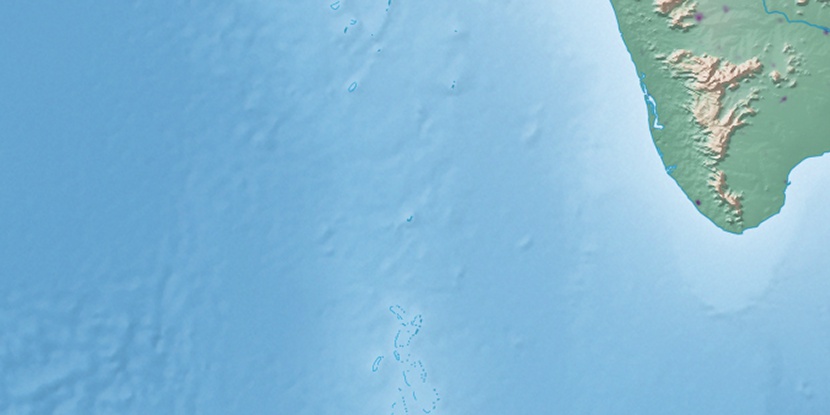
Wiringli Island, (island) is located in Laccadives, in India (Asia). It is placed in GMT+5:30 time zone with current time of 10:38 PM, Wednesday. Offset from your time zone: minutes.
| Latitude | 

|
|
| decimal | 8.26667 | |
| DMS | 8° 16' 0.012" N | |
| Distances from | ||
| North pole | 9087.9 km | |
| Equator | 919.2 km | |
| South pole | 10926.2 km | |
| Longitude | 
|
|
| decimal | 73 | |
| DMS | 73° 0' 0" E | |
| Distance from prime meridian: 8019.2 km to East |
||
List of nearest places sort by population
Kollam 400 km 80°
80° 69°75°66°66°68°77°66°72°
 351°
351°

Marker is showing location of Wiringli Island on map(s). You can click on marker if you want to hide it.
 T: 0.0154 s.
2026 © Location.zone | Terms of use | Contact
 359°
359° 11°
11° 43°
43° 45°
45° 56°
56° 30°
30° 4°
4° 20°
20° 329°
329° 311°
311° 119°
119° 253°
253°