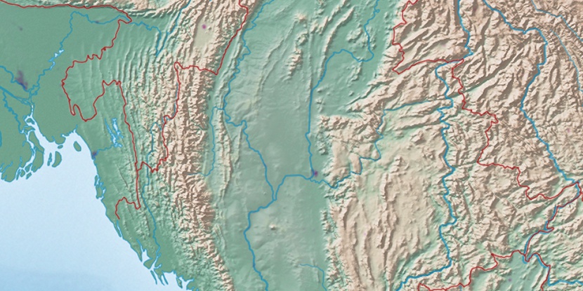
India-Burma Border, (border post) is located in Mizoram, in India (Asia). It is placed in GMT+5:30 time zone with current time of 02:09 PM, Thursday. Offset from your time zone: minutes.
| Latitude | 

|
|
| decimal | 23.36292 | |
| DMS | 23° 21' 46.512" N | |
| Distances from | ||
| North pole | 7409.3 km | |
| Equator | 2597.7 km | |
| South pole | 12604.8 km | |
| Longitude | 
|
|
| decimal | 93.38867 | |
| DMS | 93° 23' 19.212" E | |
| Distance from prime meridian: 9321.3 km to East |
||
List of nearest places sort by population
Aizawl 79.6 km 300°
300° 231°
231° 203°
203° 262°
262° 309°
309° 265°303°
 326°232°273°

Marker is showing location of India-Burma Border on map(s). You can click on marker if you want to hide it.
 T: 0.01487 s.
2026 © Location.zone | Terms of use | Contact
 290°
290° 235°
235° 246°
246° 284°
284° 72°
72° 136°
136°